Fontmartina - Estació Biològica del Montseny
| General data | Edit |
|---|---|
| Sun | Sunrise at 04:21 and sunset at 19:13 (UTC) |
| Coordinates (lat/lng | UTM) | 41.760, 2.431 |
| UTM coordinates | 31T 4623252, 452664 |
| Elevation | 937 |
| Municipality | |
| Habitat | Coniferous forest |
| Typology | Punctual |
| Description | This location is placed in the southern side of the Montseny Natural park at 940 meters altitude. The 40-50 m diameter "U" shaped open area is mostly surrounded by planted firns (Abies sp.) and pines (Pinus sp.) in a 50-80 m radius. Around the coniferous forest, the dominant vegetation is holly oak (Quercus ilex). |
| Sessions | 3 |
| Species and sonotypes | 4 |
| Pictures | 0 |
| Atlas of mammals of Catalonia | No |
Evolution of counts of
Each bar represents the average of counts (or bat passes) detected per night in each sampling point. A bat pass is defined as a recording of a maximum of 5 seconds with a minimum of 2 bat calls identified to species level or as a phonic group. Through the menu, it is possible to visualize the average of total bat activity (including all bat species) or the total count for each species.The bar colours correspond to each season.
Average nightly activity for each phonic group
Summary of average bat activity for each bat species or phonic group on the sampling locality. The bars indicate the average of contacts (or bat passes) detected per night, including all samplings carried out within the year.
| Species / Sonotype | Passes / night |
|---|---|
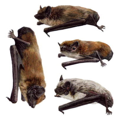
| Eptesicus / Nyctalus / Vespertilio | 592.0 |
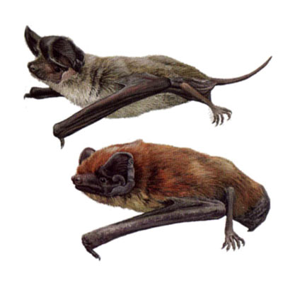
| Tadarida teniotis / Nyctalus lasiopterus | 2.0 |
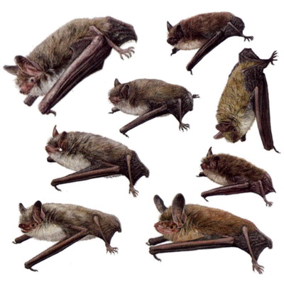
| Myotis 50 | 1.0 |
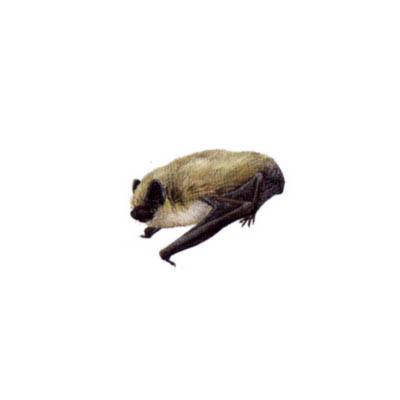
| Hypsugo savii | 1.0 |